April 22, 2024
7:30 PM - 9:30 PM
Exeter Hall and via Zoom online
This is a Hybrid meeting on the 22 April 2024 with the talk starting at 8pm (UK Time). Speaker: Dr Sophie Kay. Focusing on her Outlier Method and Ancestral Walks techniques, Sophie will show how by uniting historical maps with historical records you may spot research errors, separate out namesakes, understand our ancestors & bring their worlds to life, all using freely available, historical Ordnance Survey maps. Examples will focus on U.K. towns for the period 1800-1950, but these methods can be applied to any place or era where suitable maps and address data are available.
May 13, 2024
7:15 PM - 9:30 PM
Online
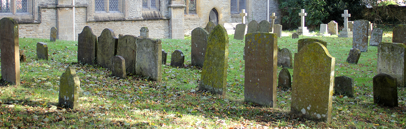
This is a Zoom Meeting on 13 May 2024 with the talk starting at 8pm. Speaker John Vigar - This lecture looks at the burial places of the famous and infamous and uses their gravestones or memorials as a starting place for an investigation into their lives. Subjects range from Florence Nightingale to Jerome K Jerome and all sorts in between, including some John feels need to be better known.
June 10, 2024
7:15 PM - 9:30 PM
Online
Zoom meeting on 10 June 2024, talk starts at 8pm. Speaker: Janet Few - Using a series of case studies, this presentation looks at those who may have found themselves on the margins of society and the sources that we can use to trace their stories. The examples used will vary but may include the sick, prostitutes, those accused of crimes, those in asylums, the poor, the illegitimate and others who were stigmatised by society.